If you’ve completed all the hikes on The Best Mountain Day Hikes, then don’t worry there are more to conquer! Here are the next best 5-day hikes (6th to 10th) including my favourite UK day hike and a mix from around the world. The criteria for a perfect hiking day are the same as the original post. And to ensure you don’t get caught out on the mountains, check out the Hiking Kit List. The list will be updated as I discover more interesting hikes to do so stay tuned for more Best Hikes posts!
Disclaimer: I am a fast-paced hiker who enjoys steep climbs and quick descents. So the Garmin hiking stats may not be representative for everyone as I hike at a 20mins/km average pace. Please bear this in mind when looking at the total times.
6. Tyfran, Glyder Fach & Glyder Fawr – Snowdonia, Wales
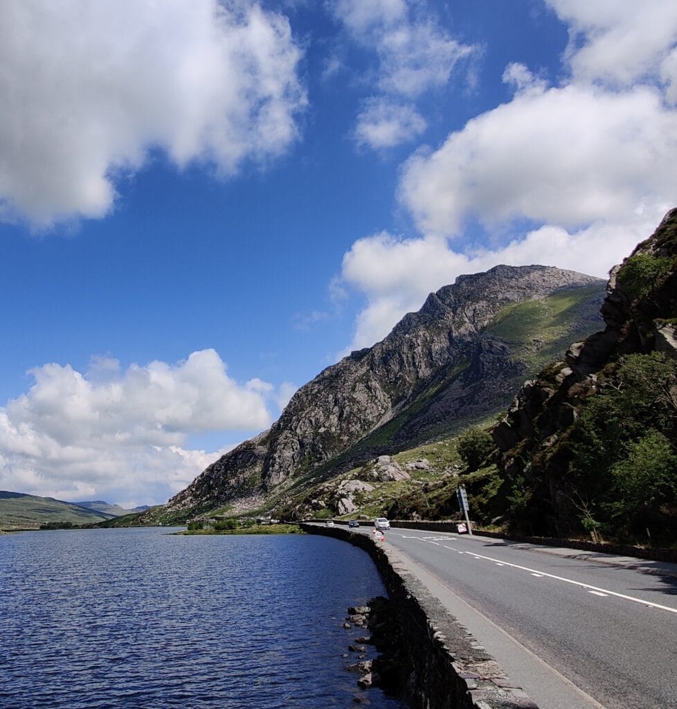
Key Stats
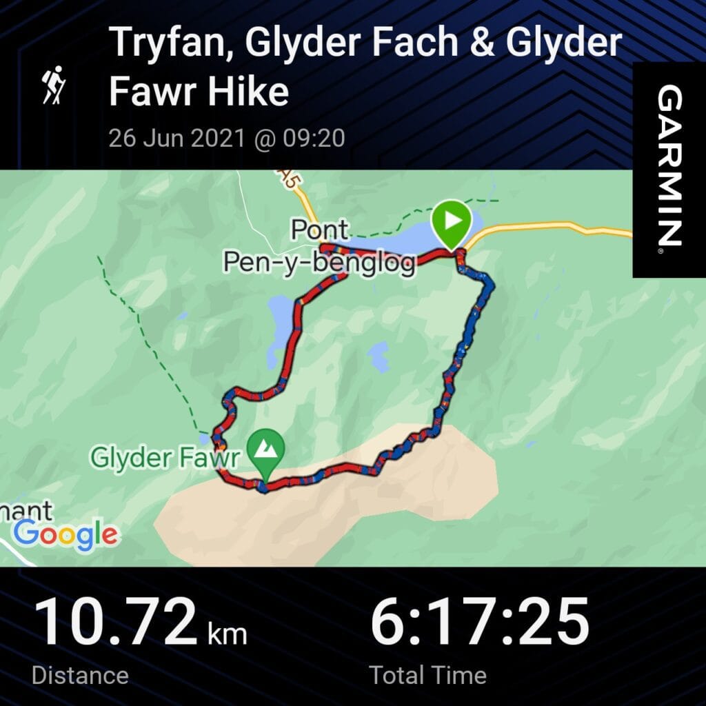
Distance – 10.7km
Ascent – 977m
Descent – 970m
Moving Time – 6h00m
Max Altitude – 998m
Route Type – Loop
Start/ End Point – Lake Ogwen
Weather Conditions – 15°C avg, Cloudy with afternoon Sun
As much as I love travelling abroad, it’s not cheap or convenient to frequently do so. My favourite UK hike is based in Snowdonia and is definitely not climbing Snowdon. I have climbed Tryfan multiple times on different routes and this loop twice from Lake Ogwen, each being very memorable.
Tip: the parking lay-bys near the Tryfan North Ridge get busy very early so I recommend arriving by 7:30. If you miss out on a parking spot, there is a shuttle from Bethesda for a few pounds.
Tryfan
Firstly, the climb zigzags up steep rocky steps and along narrow paths to warm you up. This route has over 500m of vertical climbing over about 1 km as the crow flies. The ridge is a Grade 1 Scramble so a good head for heights is needed as well as good shoes/boots. I have seen multiple people turn around due to poor equipment and adverse weather. It’s technically not a difficult scramble but there are exposed areas with large drops and some tricky navigation on the huge boulders.
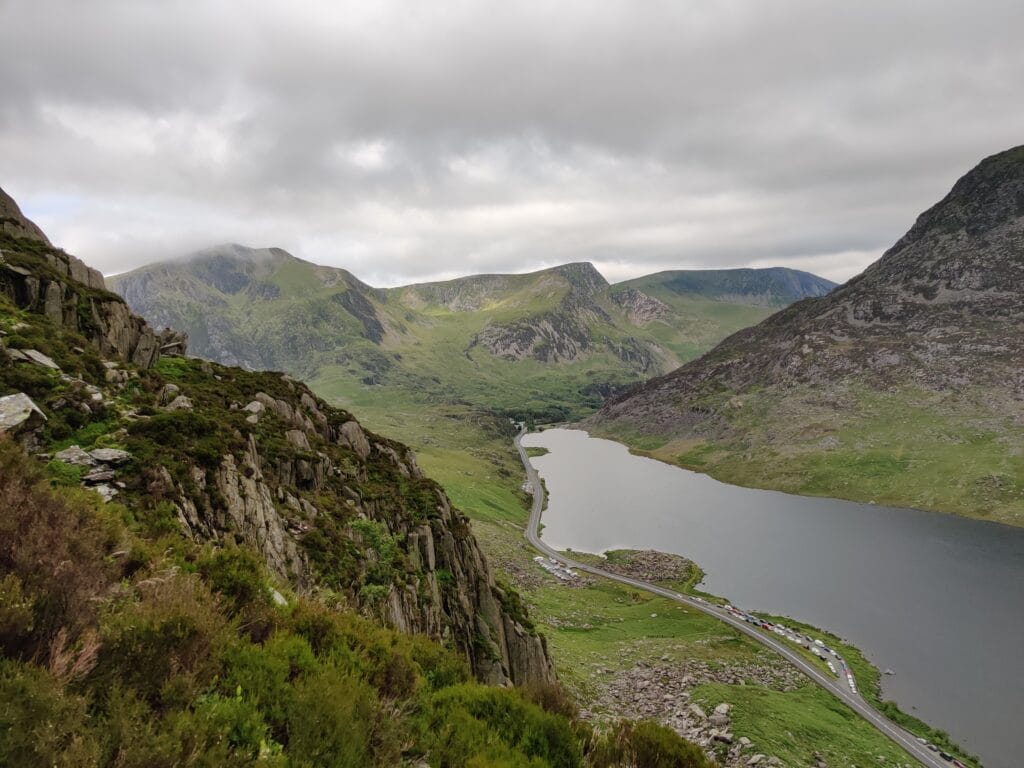
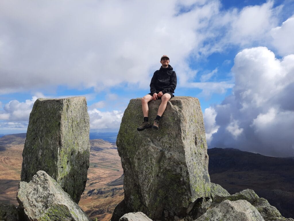
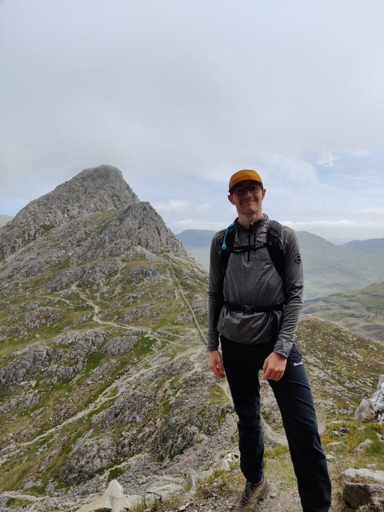
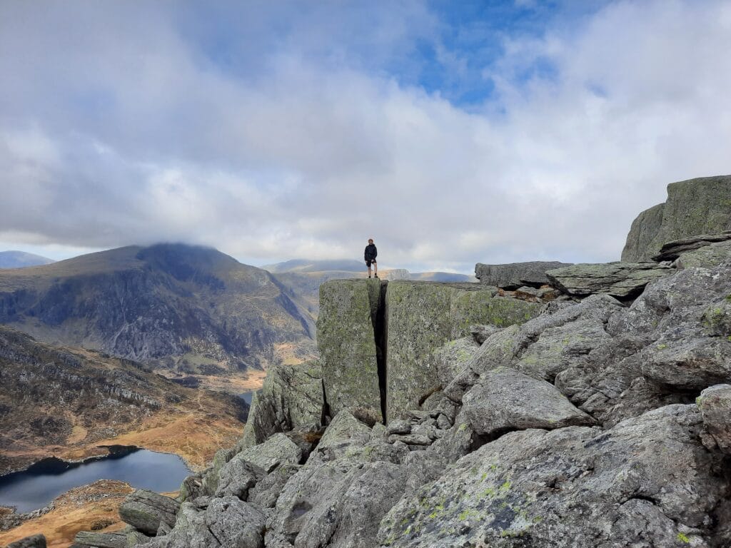
It’s best to follow the centre of the ridge using the stone markers as a guide. In cloudy conditions, visibility will be low and finding the route is challenging. This route is not recommended for inexperienced hikers due to the danger of serious falls. The summit rewards you with fantastic views of Lake Ogwen, the Carnedds and the Gylders on a clear day. The famous Adam and Eve mark the top where the brave will stand on top or even leap of faith between. A steep descent down the south slope leads to the col before Bristly Ridge where another Grade 1 scramble awaits.
Glyder Fach & Fawr
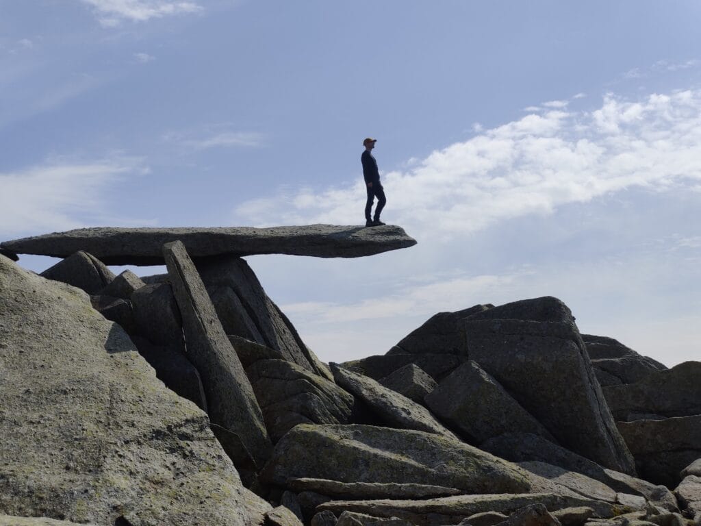
Bristly Ridge is another Grade 1 Scramble and more of a challenge than Tryfan North Ridge. Technically, Sinister Gully mainly it has good foot and hand holds despite the gradient. It is a very fun ascent and when combined with Tryfan makes for an enjoyable day summiting mountains! On the way to Glyder Fach, there is the Cantilever Rock which is a good photo opportunity. After scrambling up to the rocky Gylder Fach summit continue down then gently up to Gylder Fawr. Hopefully, you’ll have Snowden views to the left as you hike clockwise around the loop. It’s a popular summit that touches 1000m elevation. Be careful on the descent
on the very loose and steep scree slope passing the hikers who didn’t do the scrambles up.
The small lake below is a good lunch spot before a tough climb up Y Garn. Following a fun and quick descent down Llyn Idwal. Another option is to skip Y Garn and head down Devil’s Cauldron to the Llyn Idwal. The Lake is more family-friendly and is not far from YHA Idwal and the Cafe. Finally, enjoy a lakeside walk enjoying the North Ridge profile that you’ve previously conquered. I loved the scrambling on this route and feel it’s a good introduction for hikers who would like to test the waters.
7. La Jonction, Chamonix, France
Key Stats
Distance – 13km
Ascent – 1650m
Descent – 1214m
Moving Time – 7h00m
Max Altitude – 2,589m
Route Type – Out and Back
Start/ End Point – Chamonix
Weather Conditions – 20°C, Sunny and Clear

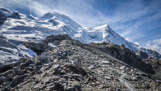
Hiking in Chamonix is very nostalgic and reminds me of many happy summer holidays with my family in the French Alps. We visited Chamonix for 7/8 years consecutively and then another trip last in 2017. There was 1 hike that I was always excited to do with my Dad and that was the long ascent up to La Jonction. The point where Glacier des Bosson and Glacier de Taconnaz split gives a close view of Aiguille du Midi and Dôme du Gôuter. It’s a classic out-and-back hike with minimal technical elements and the difficulty coming from the amount of ascent.
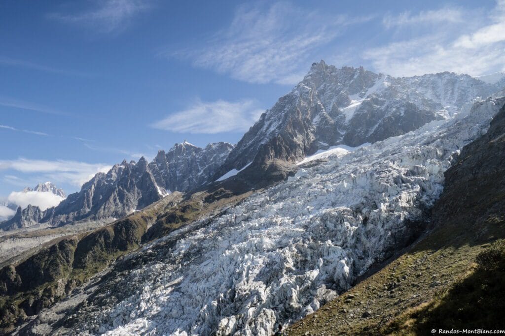
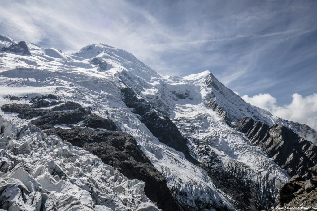
The hike starts at Le Mont hamlet and there is a short chairlift if you feel like gaining a head-start up to Chalet du Glacier des Bossons. From here the zig-zag switchbacks continue up through the forest towards Chalet des Pyramides which has great views back of Chamonix. After the chalet, the path goes to a rocky trail with yellow markers to follow as you climb up the ridge. The final bit is the large Gîte à Balmat rock before the last push to reach La Jonction. The descent is along the same route which can be a little repetitive in the treeline. Overall, this is my favourite Chmonxi hike because of the memories of hiking it with my Dad when I was younger.
8. Stawamus Chief, Squamish, Canada
Key Stats
Distance – 9.25km
Ascent – 807m
Descent – 799m
Moving Time – 1h36m
Max Altitude – 700m
Route Type – Loop
Start/ End Point – Squamish, British Columbia
Weather Conditions – 15°C, Low Cloud and Wind
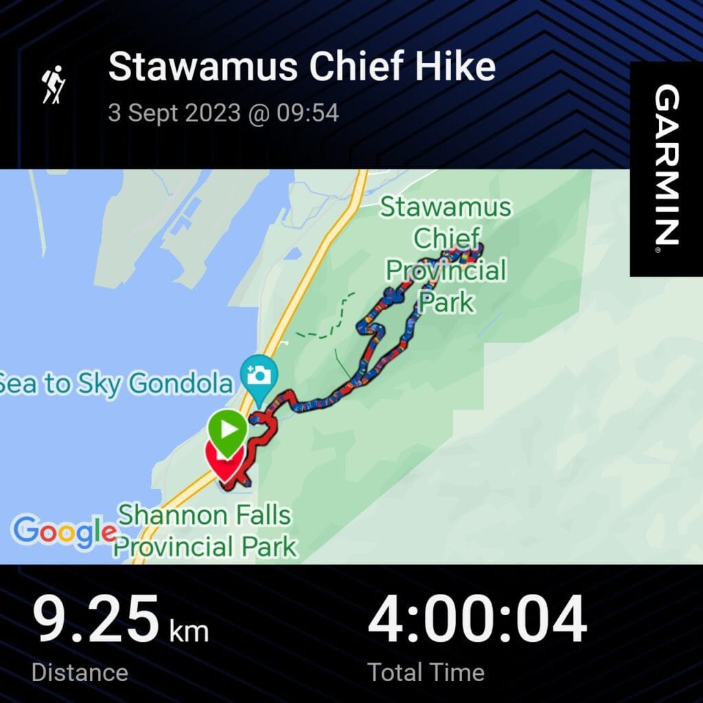
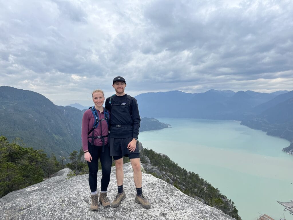
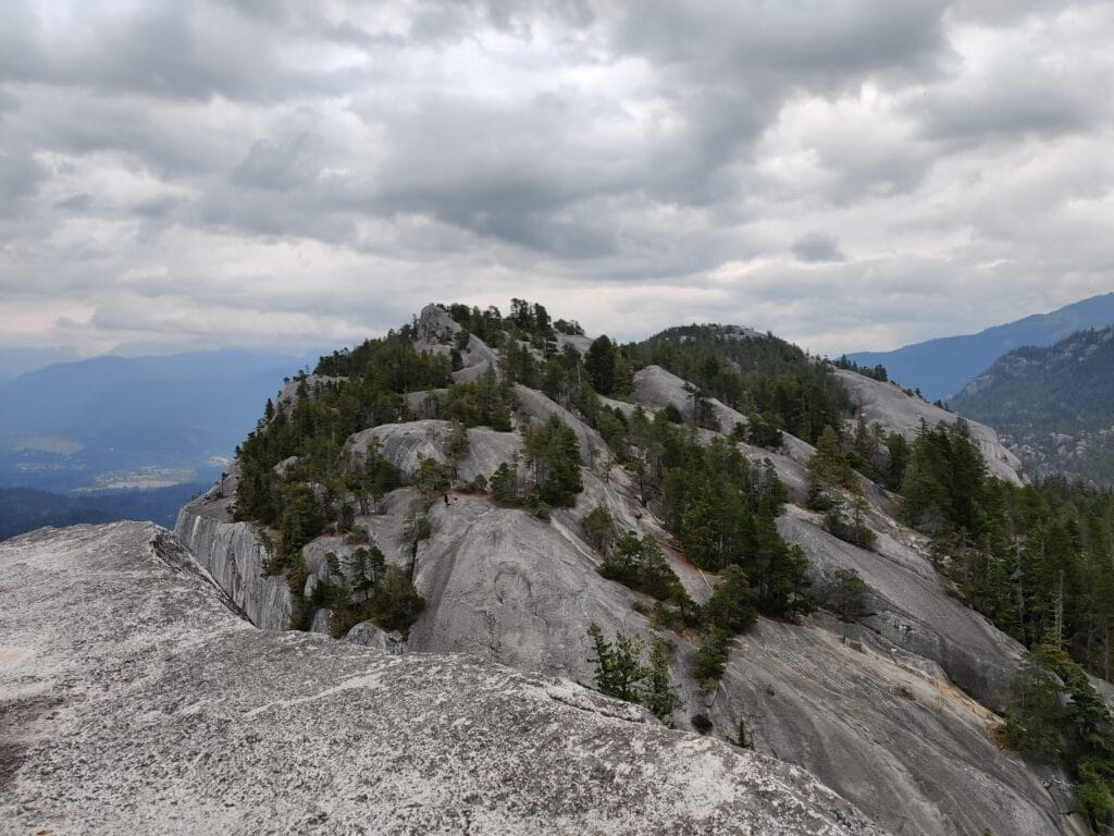
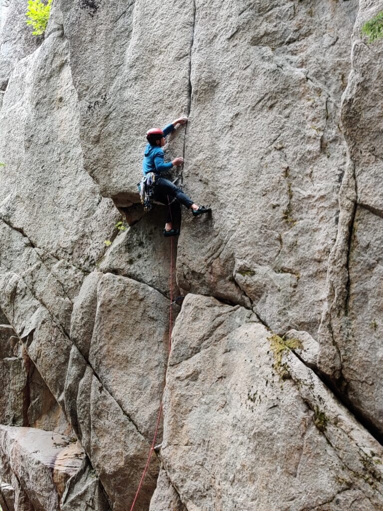
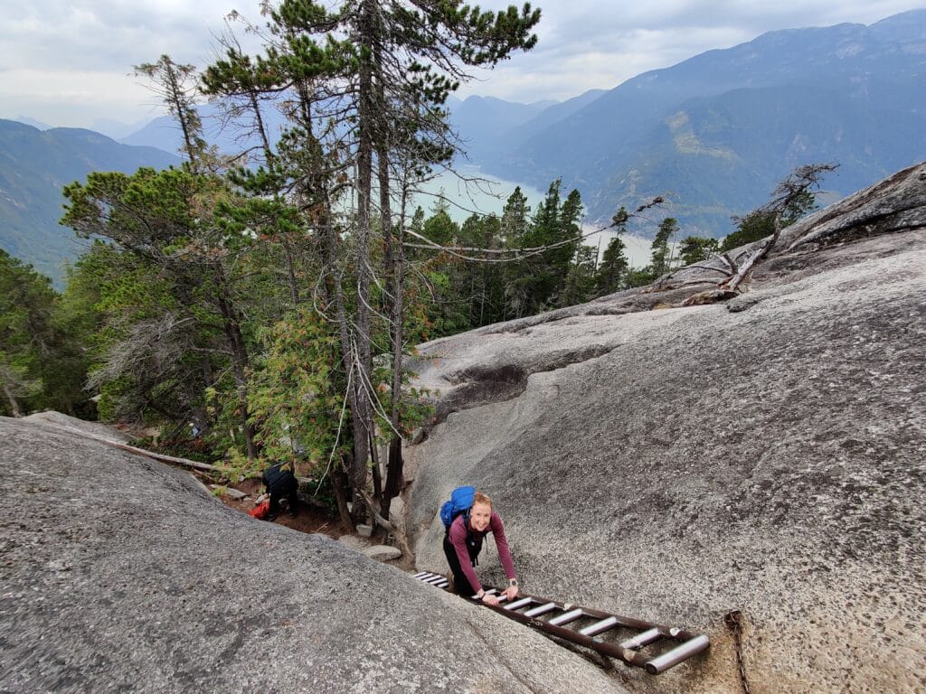
The 3rd Canadian Hike to make this list and the most surprising from the Road Trip. It was recommended by one of Roisin’s colleagues to do it for the fun of climbing multiple peaks overlooking the water below. It is by far the most popular hike in Squamish and as we found out, the car parks fill up very early with coaches too. Luckily there are multiple car parks at the base of Stawamus Chief near Squamish (BC) and we parked at Shannon Falls and then walked under the Sea to Sky Gondola to join up with the trail. This hike is shorter than most on the list and is very accessible but the higher-up sections are exposed with some ladders and via Ferrata included. Roisin and I chose to do the loop counter-clockwise doing 3rd peak, 2nd peak and then 1st peak.
3rd Peak & 2nd Peak
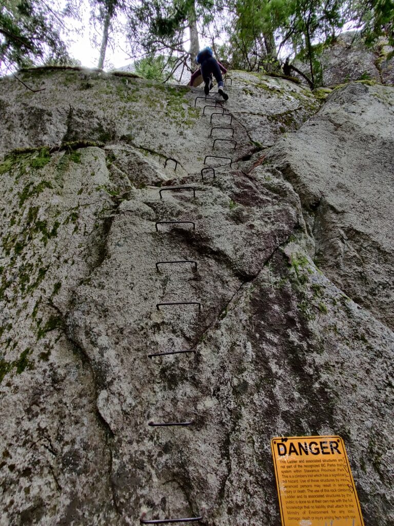
This route was a much quieter start with most people heading straight to 1st peak while we enjoyed the wooded and rocky climb up a ravine to the 3rd peak. The 3rd Peak climb is a smooth rock with the best panoramic views of the summits! Follow the path back along the narrow path and start the short steep climb up to the 2nd peak. This is closer to the waterfront and my favourite of the 3 views. It was a fast descent with some ladders and cables to go down where we met oncoming traffic. It’s a narrow section between rocks and passing is difficult. Then was my favourite part, the sheer Via Ferrata where you climb rungs up a rock wall and then onto footplates and chains. This is technical and I would not recommend this section if you aren’t sure-footed or have a head for heights.
1st Peak & Descent
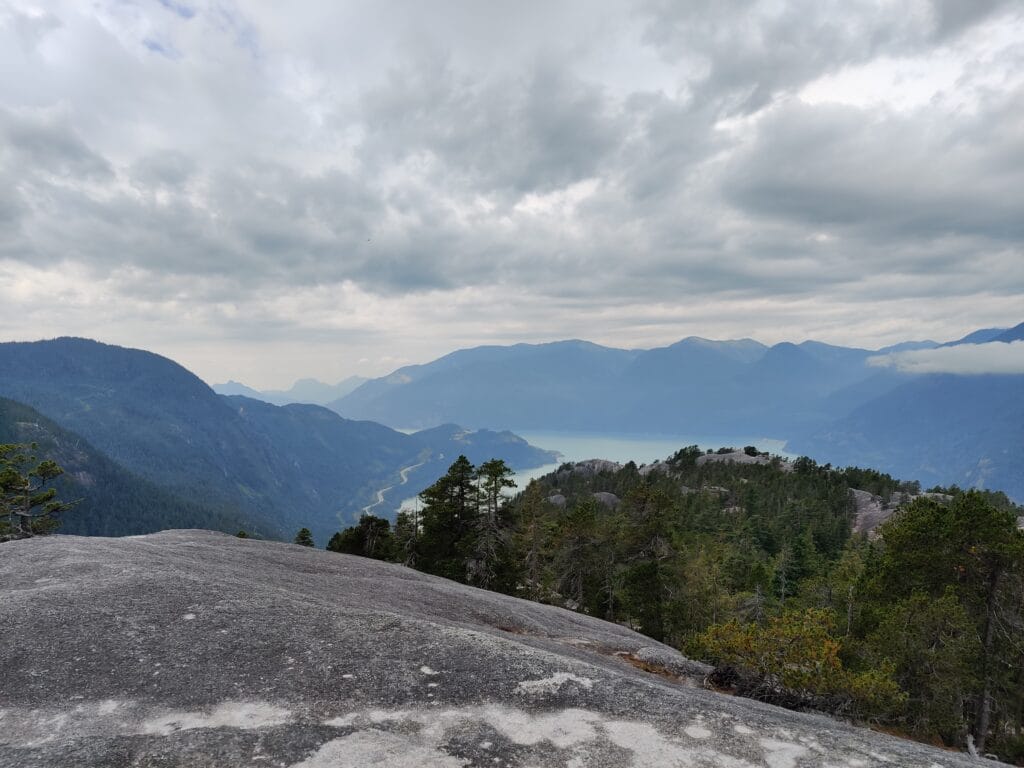
After reaching the end of the via Ferrata, go left around the summit and then climb up to the main rock slope to get to the top. You’ll notice more people on the 1st Peak compared to the other two and a clean photo takes patience. Now for the descent down which has 1 ladder section which creates a bottleneck before descending the sets of wooden stairs to the bottom of the trail. We swung via Shannon Falls which has impressive height and made use of the Cable Car Station toilets before finishing up. When back at the car park, the real carnage begins with people struggling to find free spots and making it difficult to leave. Overall, a very fun hike and climbing combo with wonderful views and can be achieved in around half a day at a push.
9. Filzenkogel, Mayrhofen, Austria
Key Stats
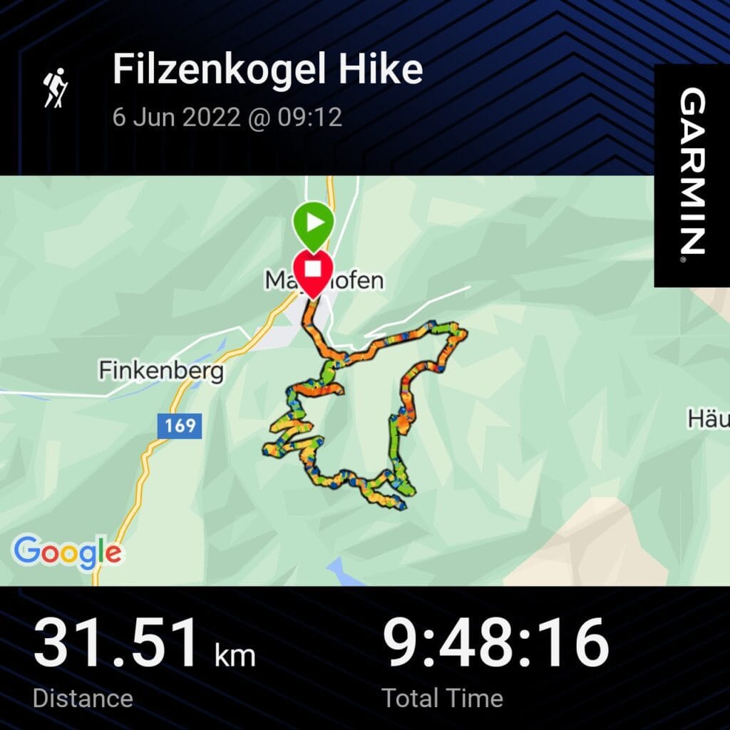
Distance – 31.5km
Ascent – 1784m
Descent – 1724m
Moving Time – 5h57m
Max Altitude – 2092m
Route Type – Loop
Start/ End Point – Mayrhofen
Weather Conditions – 25°C, Sunny and Hot
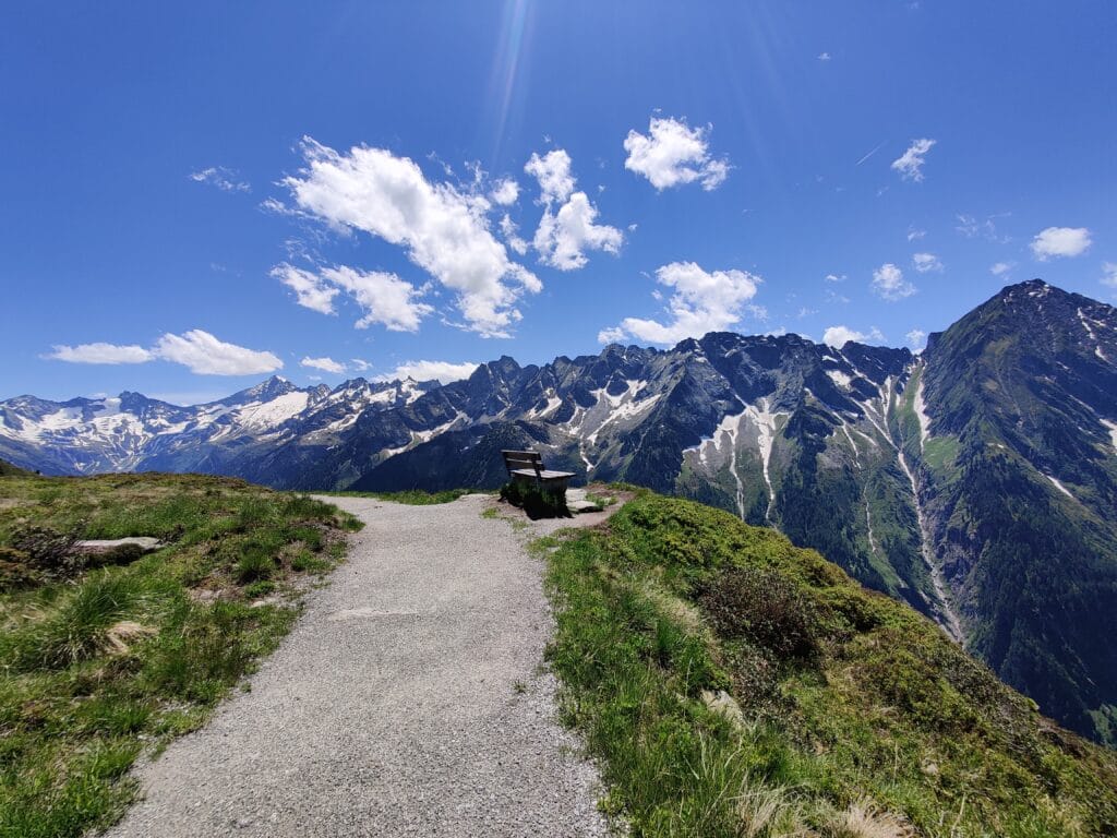
The Tyrol area of Austria is renowned for its high Alpine peaks and natural beauty. Having previously visited Obergurgl and Saalbach-Hintegrlem, I was looking for another region to explore using Moon Honey Travel, Mayrhofen and Zillertal mountains grabbed my attention. With only 2 days of hiking available and many tempting hikes on AllTrails and 10Adventures to choose from, it was a tricky pick after Oplerehutte. Shaun and I decided to explore closer to Mayrhofen but travelling in early June meant the Ahornbahn Cable car wasn’t open for another 2 weeks. This meant we couldn’t do the Ahornspitze hike as planned so we chose to hike from Mayrhofen up to Filzenkogel instead.
The Climb
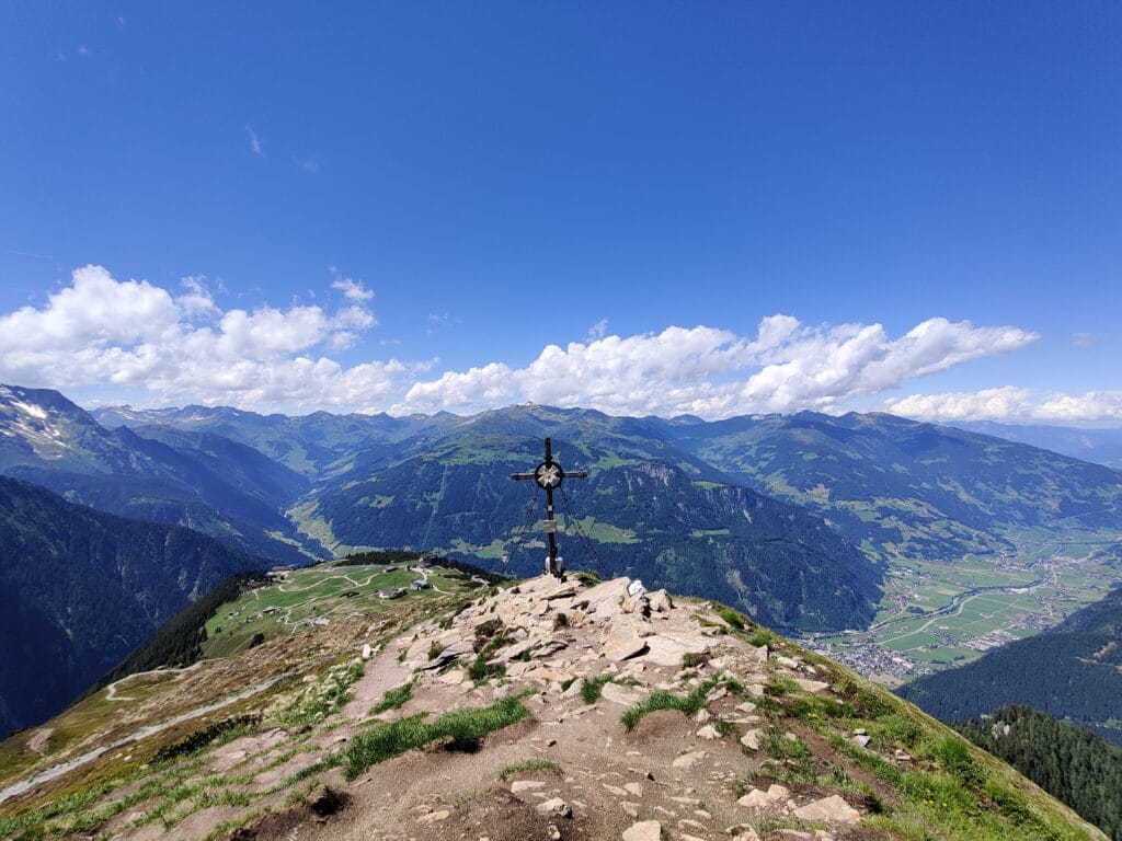
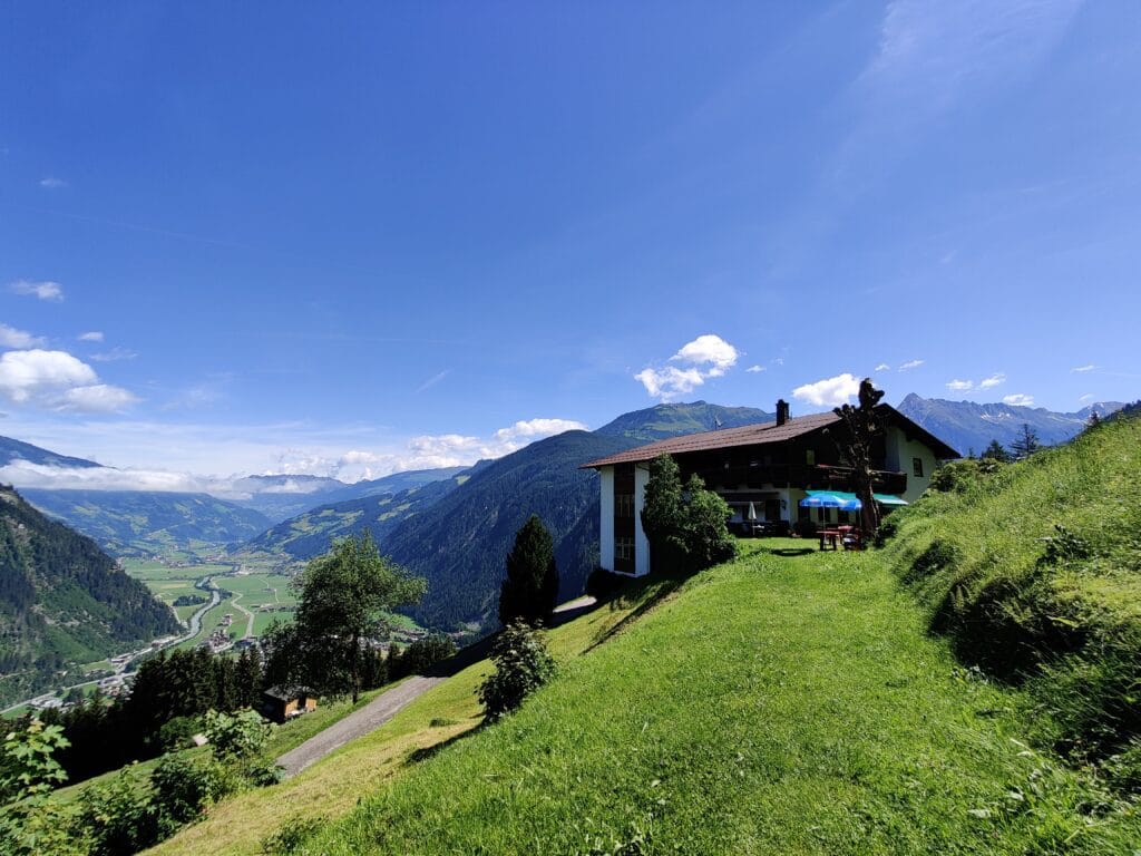
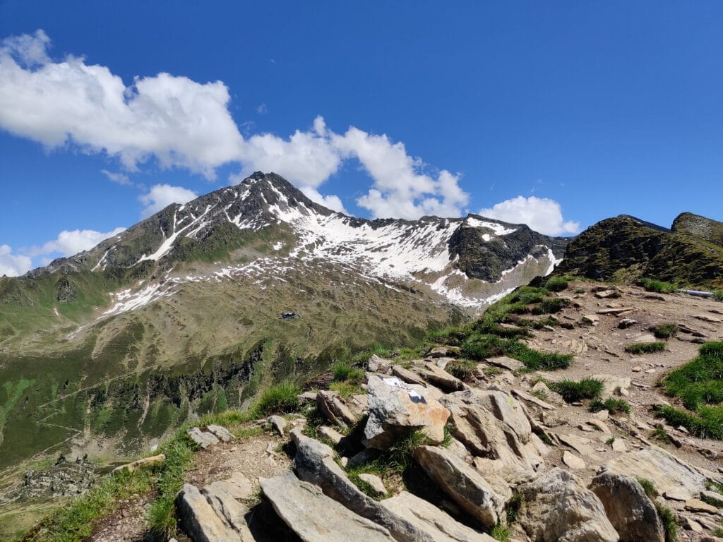
We started at the bottom of the Ahornbahn station and hiked up through the trees along good gravel tracks. The views back across to Mayrhofen were good even if the trails were a little uninspiring. We reached the Cable Car station which was deserted and stopped for lunch in some precious shade to avoid the sun and heat before the last few 3km of climbing. As we ascended the viewings of Ahornspitze and the neighbouring valleys were magical. The summit overlooks the Zillertal mountains with a fantastic 360-degree view we made the most of. We had the peak to ourselves for the hour we stayed before descending to the cable car station.
The Descent
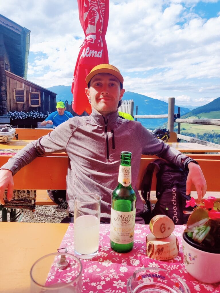
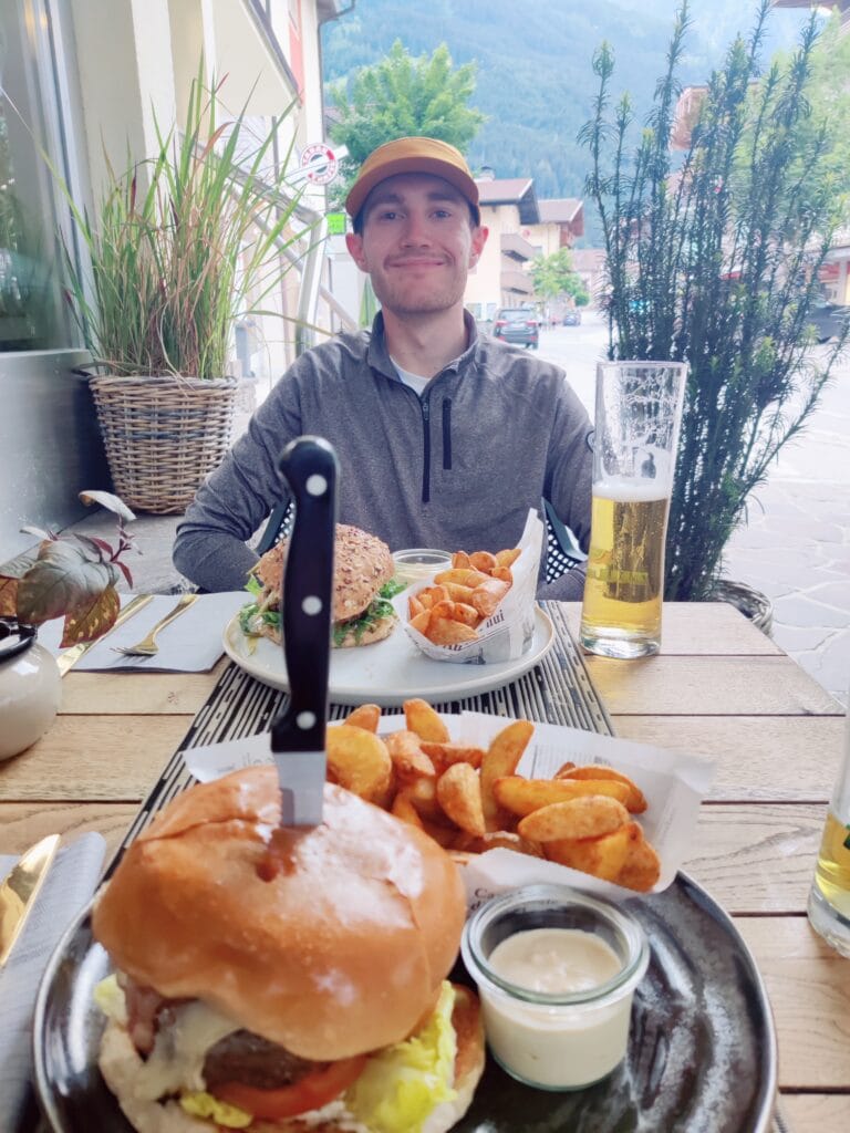
We chose to descend into the next valley near the Karl von Edelhütte and enjoyed the peaceful valley. There were loose rock areas and we saw a couple of other hikers for the first time. We stopped at Alpengasthaus Alpenrose for a much-needed cold lemonade and were given helpful advice from the Hut owner that the fast route down was shut so we had to take a long detour. What we didn’t realize was that the detour added almost 10km and an hour to our hike along more gravel tracks with a few fields and forest trails mixed in. After 31.5km and almost 10 hours of hiking in hot summer weather, we were shattered and in much need of a refreshing Austrian beer and burger.
10. La Brevent – Lac Blanc, Chamonix, France
Key Stats
Distance – 14km
Ascent – 1000m
Descent – N/A
Moving Time – 6h00m
Max Altitude – 2525m
Route Type – One Way
Start Point – Planpraz
End Point – La Flegere
Weather Conditions – 15°C, Low Cloud and Wind
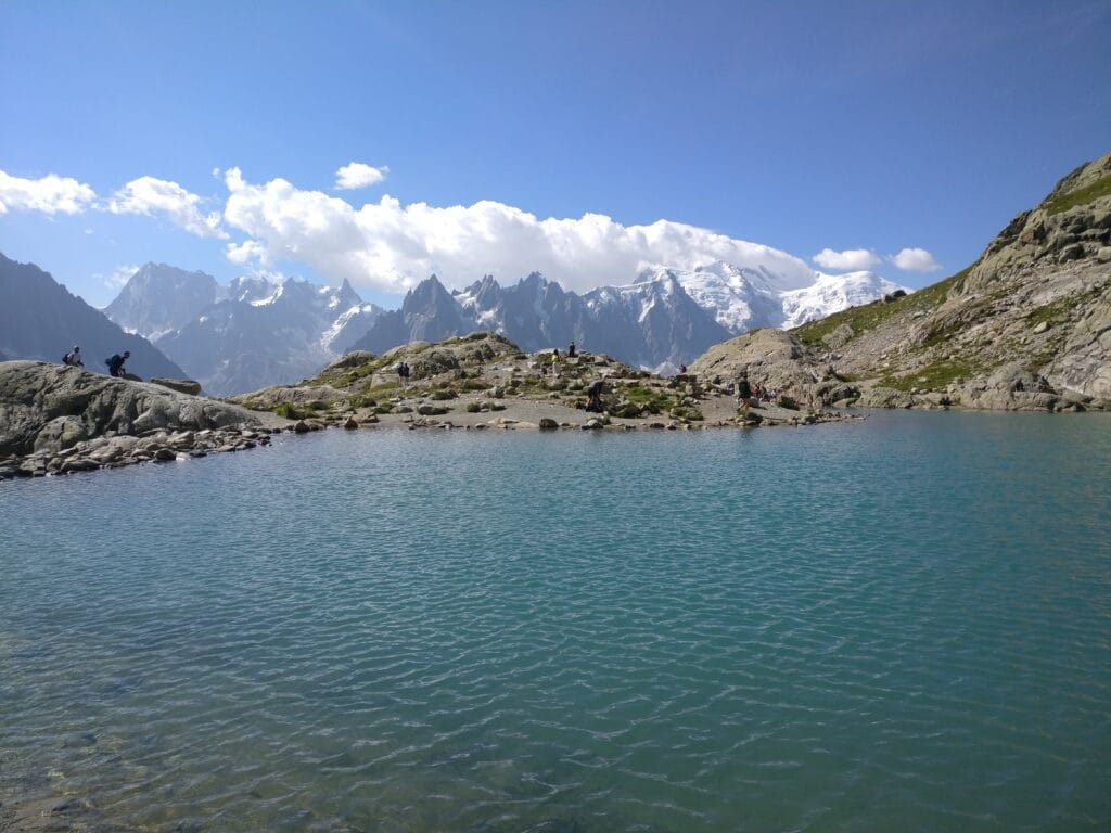
One of the most iconic photos of Mont Blanc and in Chamonix is of Lac Blanc. There are various routes up to the Lac Blanc from Flegere which most hikers will take with my preferred route being going higher up to L’Index and then down to Lac Blanc. But my favourite day hike on the Aiguille Rouges Nature Reserve is combining Lac Blanc from L’Index with Lac Noir and Cornu with a detour to Lac des Cheresey and back along Grand Balcon Sud.
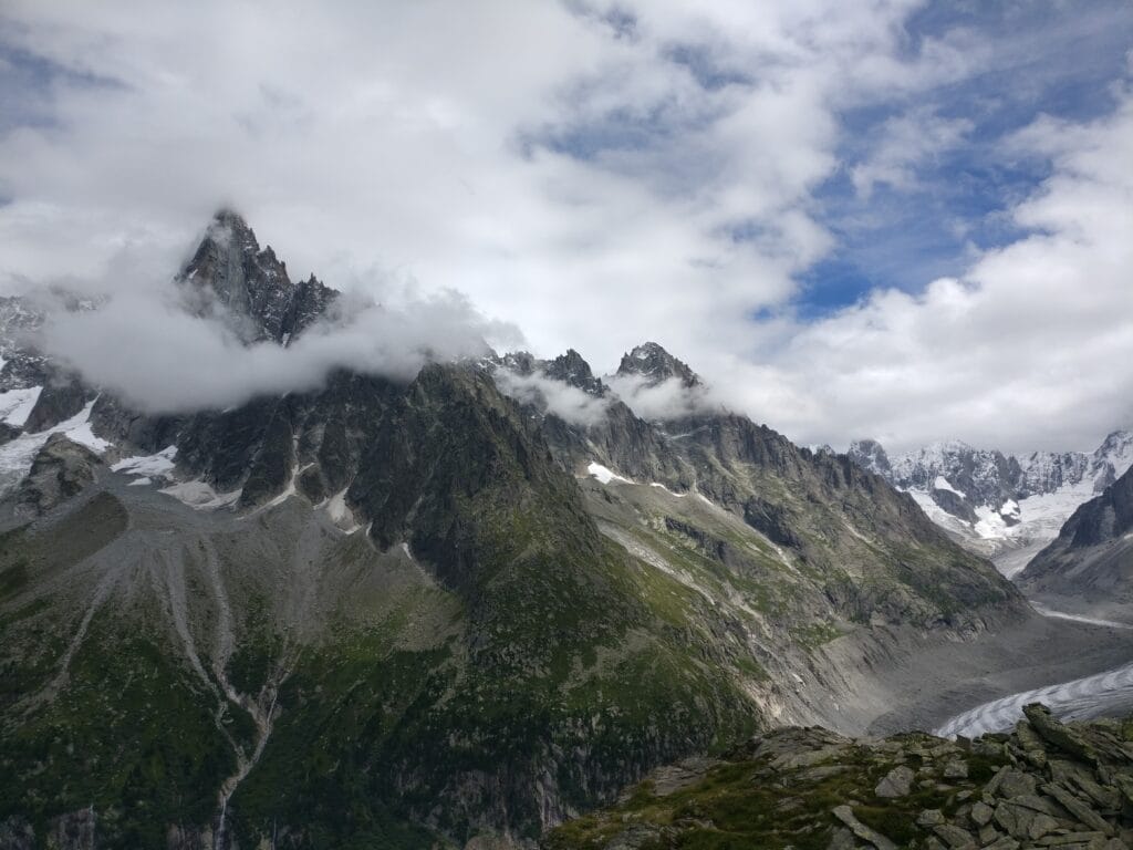
The climb to Col du Lac Cornu is a steady climb leading up and away from Mont Blanc onto the other side of Aiguille Rouges. There are 2 lakes to explore here, first up Lac Cornu then after a boulder walk past the Rochers des Fiz to one side, you can explore the Lacs Noirs. Afterwards, head to Col de la Glière and prepare for the spectacular view of Aiguille Verte across the valley. Then descend to L’Index and follow the rocky path which isn’t technically difficult unless the weather comes in. The path joins the Flégère route after 90 mins and the business will increase before the last zigzags to Lac Blanc.
Refuge du Lac Blanc has an idyllic location and adds to the scenery with the Mont Blanc Massif backdrop. Instead of following the popular Flégère path, head onto Lac des Cheserys down some via Ferrata ladders and steps for another beautiful mountain reflection photo opportunity. Finally, turn right onto Grand Balcon Sud and soak up the views over the valley of Mont Blanc as you head to the Flégère cable car. There is a short steep gravel track before the station that needs some effort before completing a long but rewarding alpine day out.
Honourable Mention – Haystacks, Lake District, England
Key Stats
Distance – 13.0km
Ascent – 650m
Descent – 650
Moving Time – 3h45
Max Altitude – 597m
Route Type – Out and Back
Start / End Point – Honnister Pass
Weather Conditions – 10°C, Some wind and blue skies
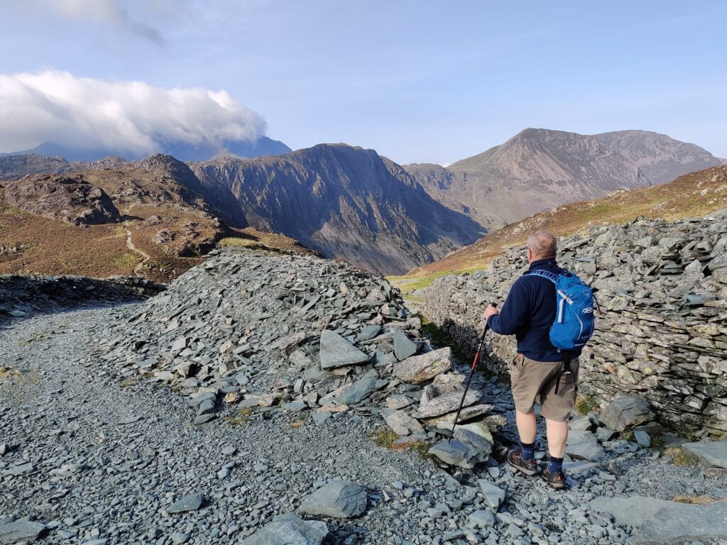
I’ve hiked many times in the Lake District and have many fond memories of these days. I was drawn to the bigger mountains like Helvellyn, Blencathra, Skiddaw and Scafell Pike. But my favourite day hike so far has been on a smaller peak but arguably better views. It is one of Wainwright’s favourite hikes for a reason!
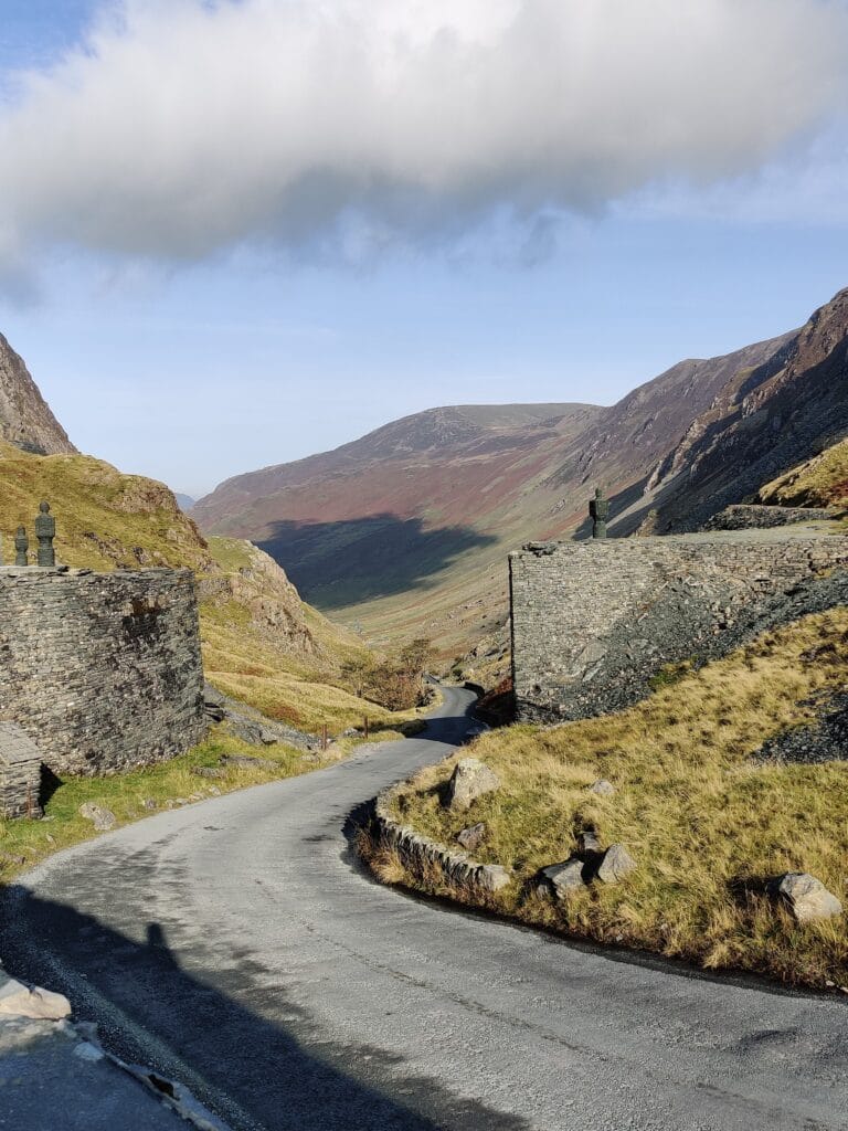
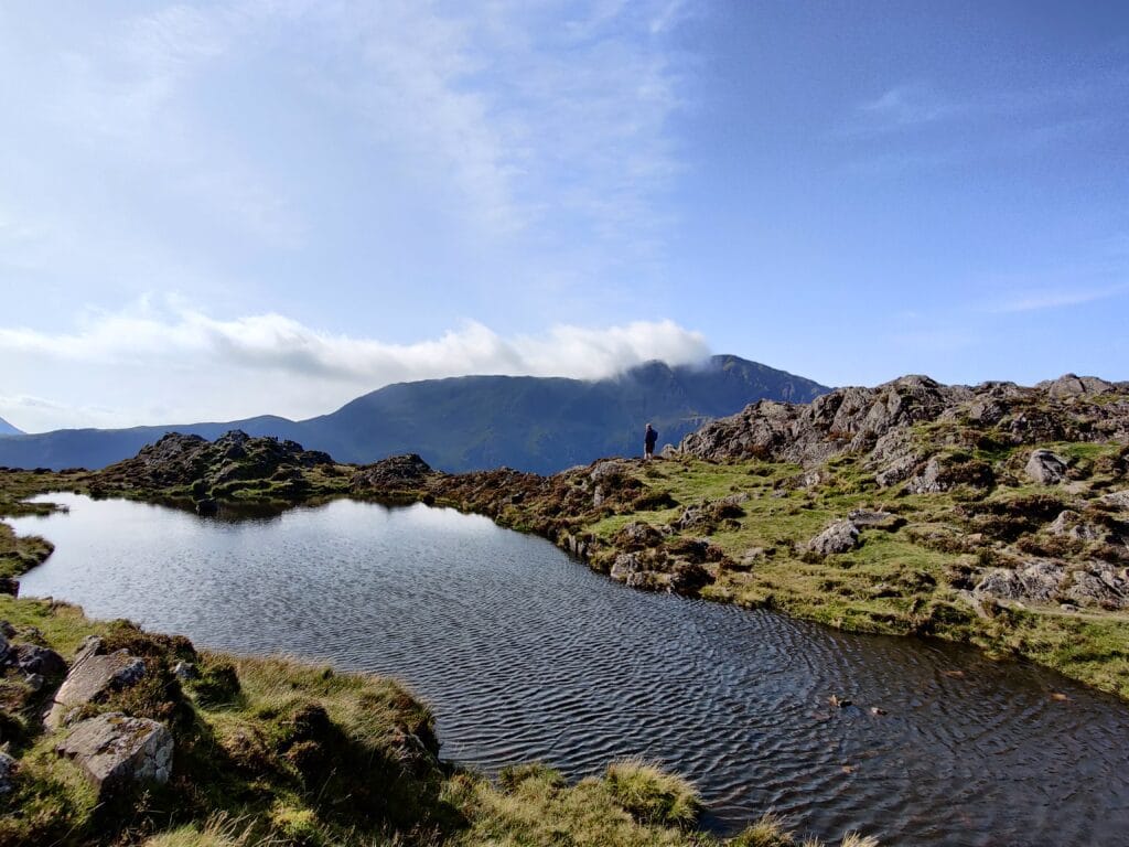
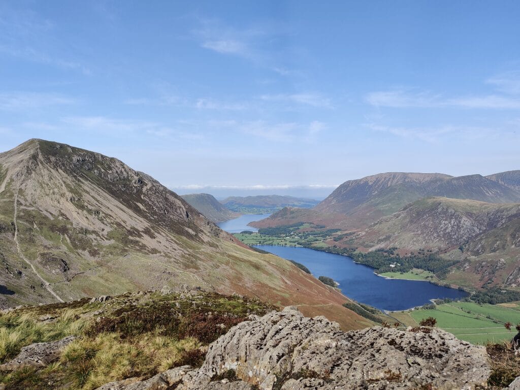
To get to the start, you will have fun driving up Honnister Pass – a steep mountain pass connecting Seatoller to Gatesgarth. There is a National Trust car park (£8.50 for the day) next to the slate mine where the hike starts. The path ascends pretty steadily up steps up towards Dubs Hut where you get the first view down into Buttermere Valley with the lakes. You can see Haystacks in front of High Stile and there are some tarns to talk around as you climb up to the summit. It has impressive views of Great Gable and Pillar when the cloud rolls off. It might not have a huge amount of climbing compared to some of the alpine and Canadian hikes but the views and simplicity of the hike trumps the larger hikes in the Lakes for me.
What hikes are planned?
My Top 10 favourite Mountain Day Hikes have been posted but there could have been a Top 20 from my years of hiking. And not to forget about some of the future hiking plans in the pipeline. These include Alpine hieks such as Ahornspitze (Mayrhofen) and Le Buet (Chamonix). After trekking in the Dolomites in 2023, there are a few day hikes I would like to try including Seceda and Monte Antelao.
In the UK, I plan to visit the Scottish Highlands and summit Ben Nevis, explore the Cairngorms and do some more hikes in the Lake District (Great Gable and Helvellyn Striding Edge mainly). And finally, in Canada, we were unlucky with wildfires so did not have perfect hiking conditions around Jasper. We plan to hike to Pyramid Mountain, Valley of the 5 Lakes, Edith Cavell and definitely Sulphur Skyline Trail next time.
What’s your favourite day hike? I would love to hear what they are in the comments below and find some inspiration for my next hiking adventures! Please feel free to share these day trips with other Hikers.